
Description
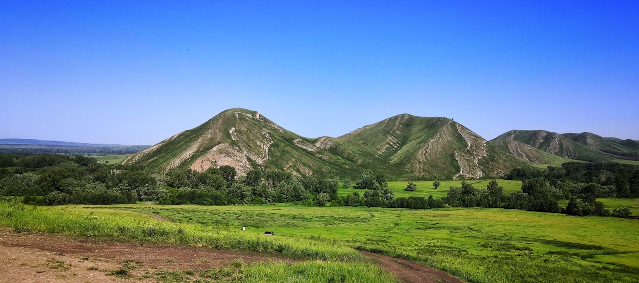
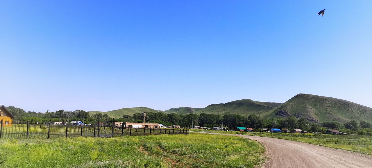
This chain of five hills was called cones because of their shape, and Andreevsky – in honor of the nearby village of Andreevka, famous for its monastery and truly amazing nature.
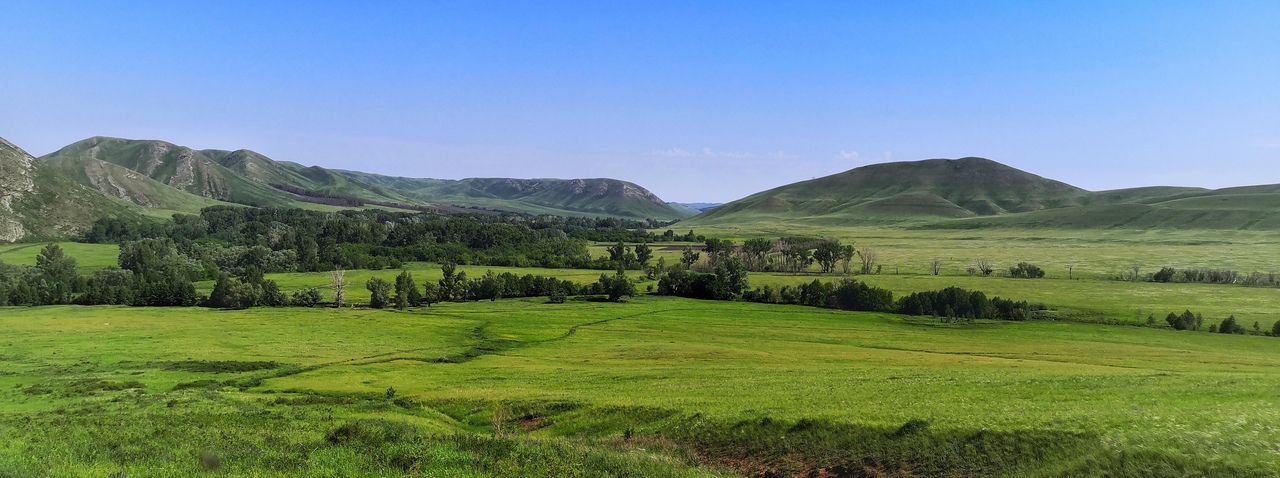
The hills are not particularly high – from 160 to 210 meters above the floodplain of the Uskalyk River, so it is not very difficult to climb here. It is much more difficult to descend – the height may be small, but the slope is quite noticeable, so when descending you need to be careful and follow the rule of side step (the foot should not be placed straight, as with normal walking, but sideways, so as not to roll head over heels, slipping on small pebbles or sand).
The Andreevsky Cones are part of a ridge "sawn through" by tributaries of the Bolshoy Ik River. The hills are composed of silicified limestones of the Kurmain formation of the Assel stage of the Permian – these rocks have high physical stability, which helped them to survive under the onslaught of water. The chain of hills stretches for almost six kilometers in length.
The Andreevsky cones are a geological, geomorphological, landscape and botanical monument of nature. In addition to the amazing beauty and uniqueness of the rocks from which the hills are composed, they are also rich in vegetation listed in the Red Books of Russia and the Orenburg region.
There are five springs at the foot of Chasovaya, Provalnaya and Maryevskaya Cones. The most popular and well-maintained is the spring on Sentinel Hill. Previously, there was a small chapel on the site of the spring, built at the expense of Mikhail Chistozvonov. It is believed that he also established the production of bricks here, from which two chapels, a priest's house, a parish school and a church in the name of Archangel Michael were later built. During the rule of the Bolsheviks, the chapel was destroyed – only the foundation remained. This hill is also popularly called Wish Mountain – supposedly, if you make a wish here and tie a ribbon to a gazebo, it will surely come true.
Provalnaya Mountain, which is located a little beyond the border of Bashkiria, is also popular. In Bashkir, the mountain is called Tautyshak, which can be translated as "mountain with a hole." Presumably, this name was given to the hill by a small cave located on its top. The villages of Upper, Middle and Lower Muinak are located at the foot of the hill.
Photo author: Sergey Zaitsev
Read completely
The object is a natural monument of regional significance in the Orenburg region, which has a special protection regime. Information about prohibitions and restrictions can be found here.