

Description
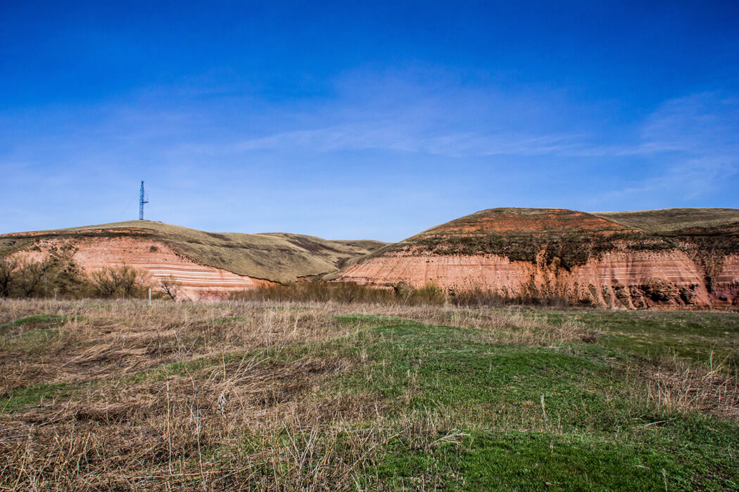
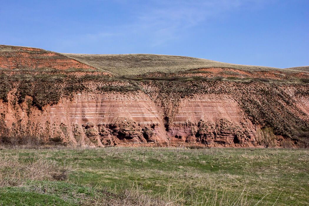
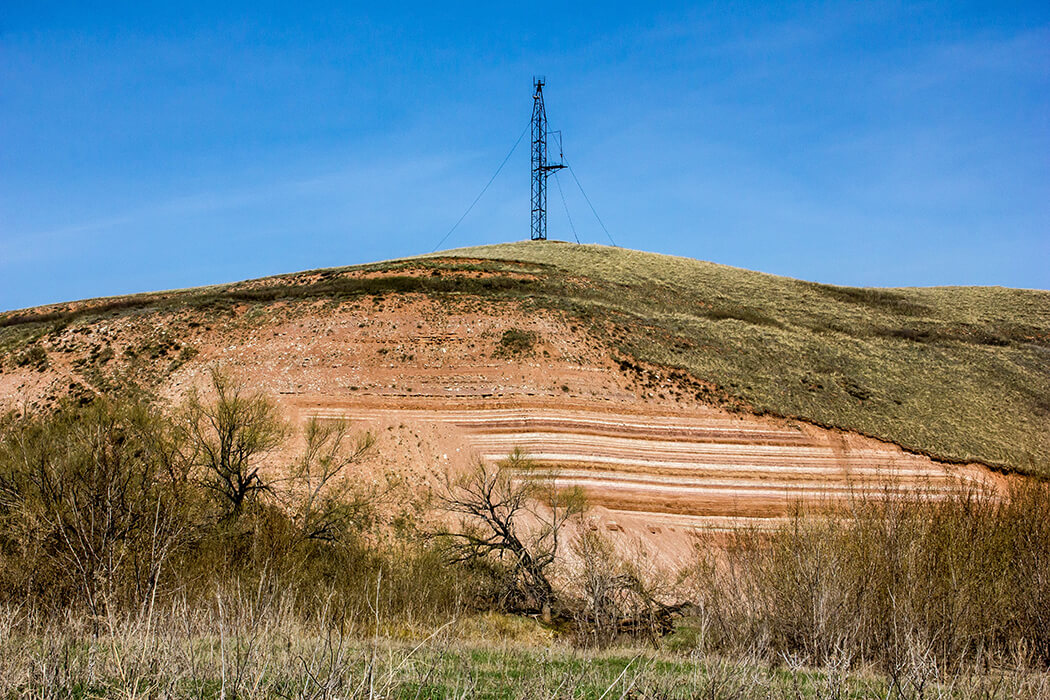
Steep left bank of the river.The net is 1 km long, consisting of three sheer cliffs from 20 to 35 m high. Horizontally layered rocks are exposed, which are the supporting section of the Upper Kazan sublayer of Perm. The top layer is up to 15 m thick, represented mainly by red-colored mudstones with layers of grayish-white limestones. This part of the outcrops is heavily crumbling, but the stratification of the rocks is quite visible. Below lies a beautifully exposed variegated stratum, consisting mainly of finely and rhythmically layered mudstones, marls, limestones and calcareous sandstones. Red mudstones predominate, often with a lilac tinge, white-colored sandstones and limestones are of subordinate importance. In the striped thickness there are two layers of red-colored sandstone, in which unidirectional oblique stratification is visible in places. A clear abrupt change in the phasic conditions of sedimentation is demonstrated. The section probably belongs to the Sokka formation, and is an analog or continuation of the sections along the Sultakai River in the neighboring Alexandrovsky district.
The natural monument is a valuable geological (stratigraphic) object, preserving the reference section of the Verkhnekazansky sublayer of the Permian system.
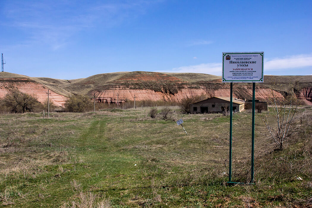
The object is a natural monument of regional significance in the Orenburg region, which has a special protection regime. Information about prohibitions and restrictions can be found here.