

Description
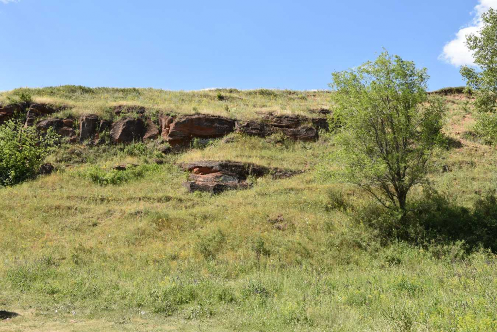
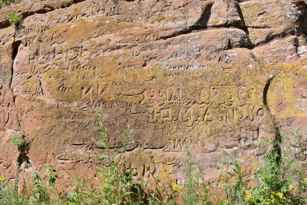
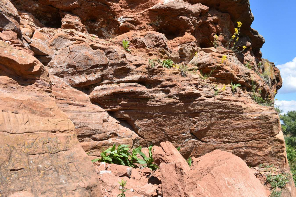
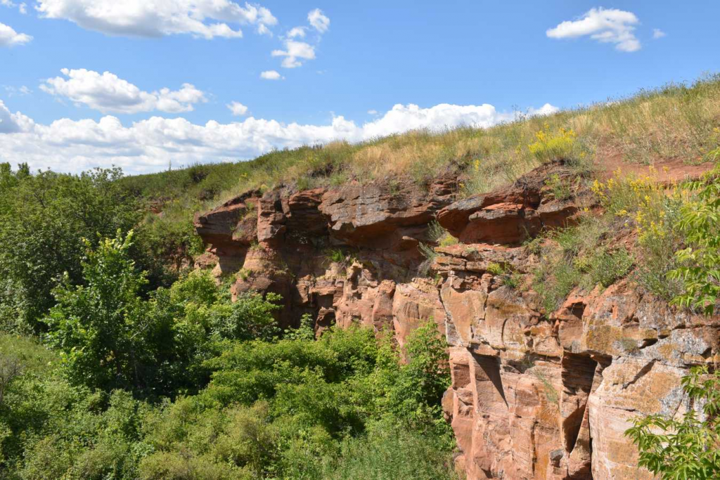
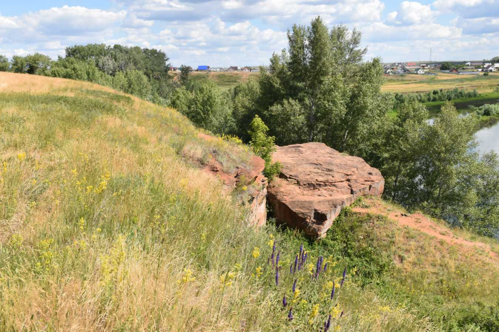
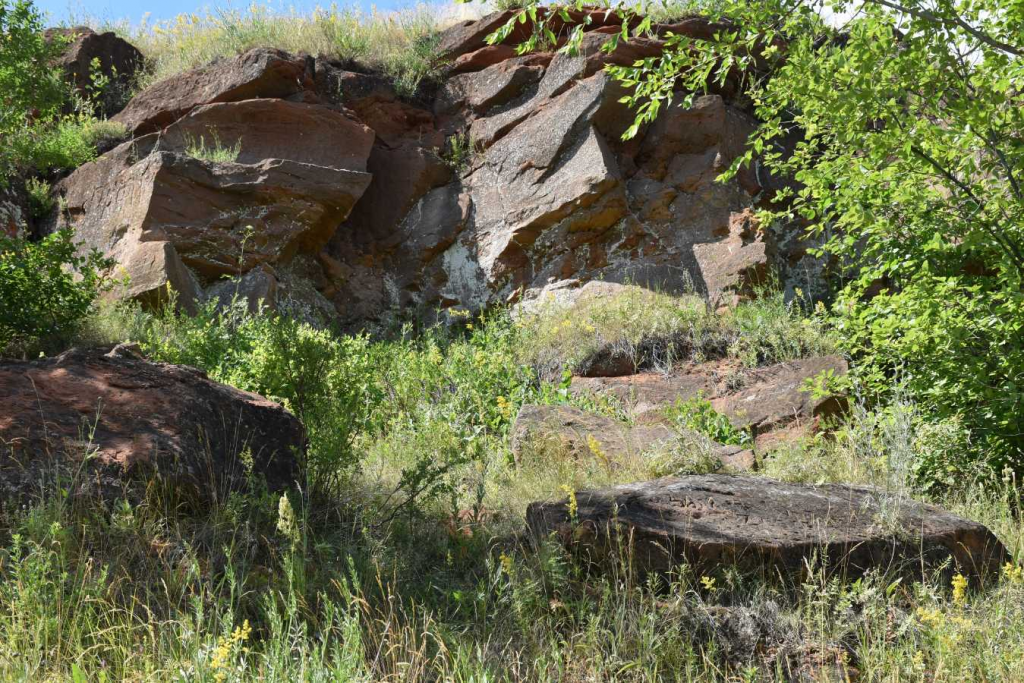
The cliff is up to 37 m high on the right bank of the river.Sakmara is 1.2 km long and looks like a horseshoe with its convex side facing away from the river. The horseshoe covers a section of the river's floodplain.Sakmars. The tract is bisected by 4 short (up to 300 m), but deep ravines-canyons. At the southern edge of the tract, the cliff is washed away by the river and forms beautiful outcrops of red-colored sandstones with lenses of a conglomerate consisting of mudstone pebbles. In the upper part of the cliff, there is a lens of thin-layered variegated Aleuropean sandstone in cherry, lilac and ochre tones. The rocks belong to the Upper Tatar sublayer of the Permian system. The walls of the ravines contain outcrops of rocks of the same age – red-colored sandstones, siltstones and clays. Calcareous nodules of bizarre shapes of white and pink flowers are found in the clays. In places, there is a powerful (up to 5-7 m) Neogene-Quaternary eluvium in the ravines of the rocks of the Upper Tatar sublayer.
The significance of the object is a natural sculptural form (erosive remnant), a typical manifestation of gully erosion in Orenburg region, to one of the supporting sections of the Upper Tatar sublayer. The facility is intensively used for recreational purposes and as a climbing training facility.
The object is a natural monument of regional significance in the Orenburg region, which has a special protection regime. Information about prohibitions and restrictions can be found here.