
- Orenburg legendary - I
-
 Information about the tour
-
 1. Ivushka Park, Orenburg
-
 2. Mount Grebeni, Sakmar district
-
 3. Bukobaisky yary, Sol-Iletsky district
-
 4. Snake Mountain, Sol-Iletsky district
-
 5. The Holy stone of Aleutas, Sol-Iletsky district
-
 6. Krasnaya Krucha, Ilek district
-
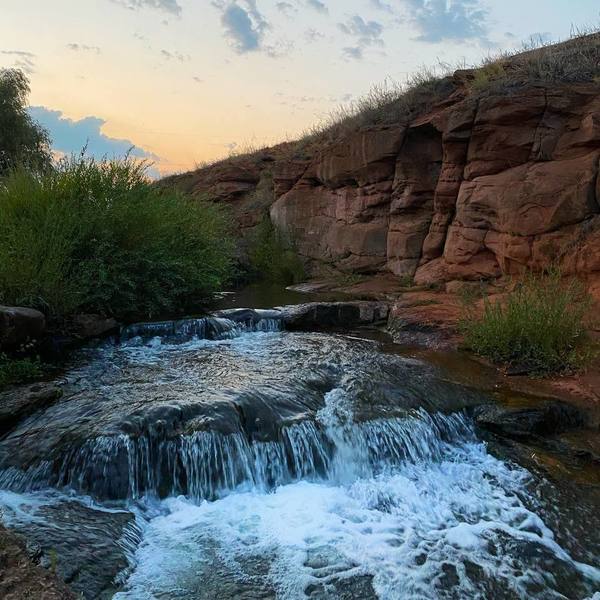
7. Chernorechensky waterfall, Orenburg region
-
 8. Kuvayskaya steppe, Perevolotsky district
-
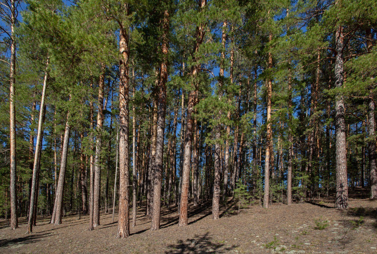 9. Buzuluksky forest, Orenburg region, Buzuluksky district
-
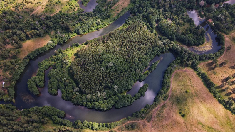 10. Lake Cholernoye, Buzuluksky district
Do you know Orenburg region well? Even if your answer is "yes", our virtual tour of the region will surely help you see it from new angles. ""We are discovering Orenburg Together"" photo contest participants, which was organized by Gazprom Dobycha Orenburg in 2021, inspired the creation of this tour. Discover with us 21 beautiful corners of Orenburg nature that have caught the contestants' attention. Each landmark is covered with legends. Some were put together by the people, others were reinterpreted or composed by the journalists of the newspaper "Orenburg Gas". There's a lie in the fairy tale, but there's a hint in it… So, let's go...
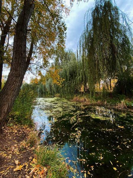
The author of the picture is Oleg Shakirov, an employee of "Gazprom Pererabotka Blagoveshchensk" LLC, Amur region. The coordinates of the object are 51.790674, 55.21986. The construction of the "Ivushka" park in the village of Rostoshi started in 1997. The total area is 10 hectares. In 2014, a spring was landscaped in the park. Employees of "Gazprom Dobycha Orenburg" LLC made a convenient descent to the spring, organized a recreation area with a rotunda and a playground for kids. In 2017, a large amount of pond landscaping was carried out, more than 1,200 chestnuts, birches, linden trees, pines, firs and mountain ash trees were planted. In 2018, a large children's playground was opened at the entrance to the "Ivushka". In 2019, the construction of terrencours, routes for recreational and therapeutic walking, began. Their total length is about 4 km. In the summer of 2021, an outdoor piano was installed in the rotunda by the pond.
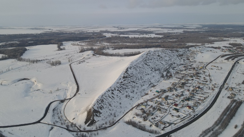
The author of the picture is Natalia Sharipova, a resident of Orenburg. The coordinates of the object are 51.94079, 55.279148. The geological and geomorphological natural monument is located 12 km northwest of Orenburg, near the railway station of the 25th km and the village of Grebeni. The period of formation is attributed to the Permian period (more than 270 million years ago). Height – no more than 80 m. The total area is 150 hectares. In 1982, the "Grebeni" ski campsite was opened. The lifts were rented for the summer. In 2018, the Grebeni Outdoor Recreation Center started operating. From the top of the Ridges there is a view of the valley of the Sakmara River. At one time, limestone was fired on the mountain to produce quicklime from them.
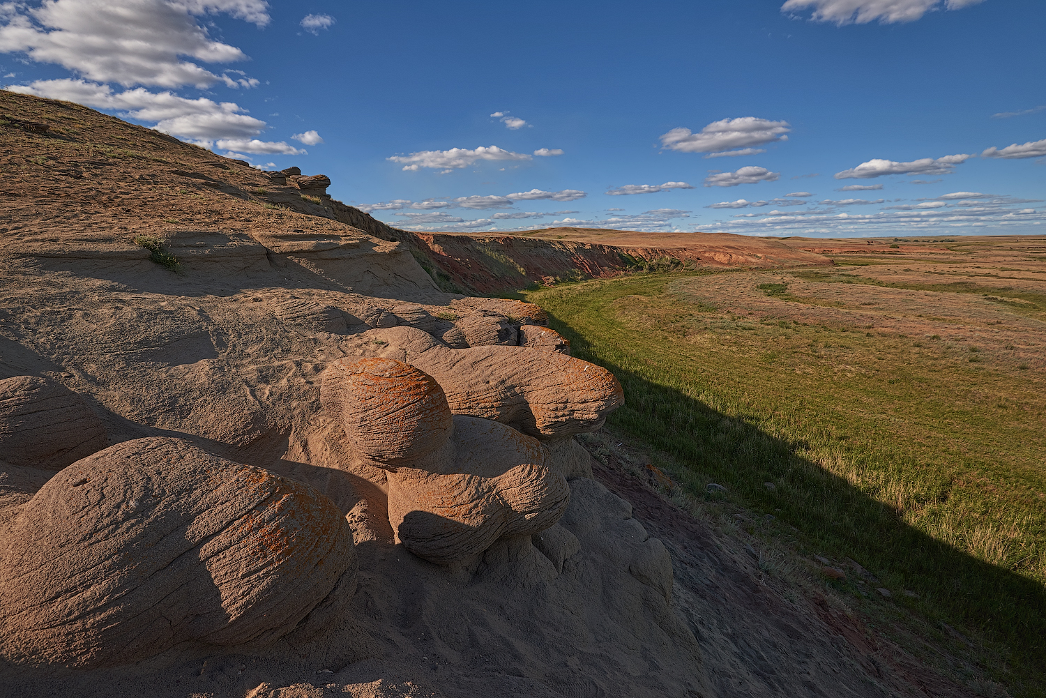
The author of the picture is Artem Valeev, an employee of "Gazprom Dobycha Orenburg" LLC. The coordinates of the object are 51.44165, 55.448856. The unique natural monument is located 54 km south of Orenburg on the banks of the Bukobai River near the village of Mikhaylovka. It is a sample of weathering of sandstone of different shades with deposits of iron and manganese. The pits have a spherical shape. The total area is about 136 hectares. The formation dates back to the Mesozoic period (more than 250 million years ago). Bones of ancient animals were found in the pits. In spring, red-book tulips of Bibirstein and Schrenk bloom next to the natural monument.
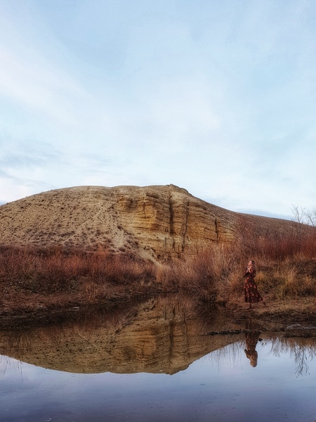
The author of the picture is Natalia Sharipova, a resident of Orenburg. The coordinates of the object are 51.417837, 55.402422. A geological monument of nature. It is located on the right bank of the Berdyank River near the villages of Mikhaylovka and Belyaevka in the Sol-Iletsk city district. The formation dates back to the Jurassic period (about 200 million years ago). The mountain is rich in fossil fauna and fossils. Bones of a large marine lizard were found in the calcareous sandstones of Snake Mountain. The mountain is home to seven species of snakes, the most common being vipers and grass snakes. At the foot of the mountain, Schrenk tulips bloom in spring.
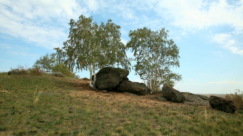
The geological, geomorphological, historical and cultural monument of nature is located 10.5 km south-east of the village of Perovka, Sol-Iletsk urban district, in the interfluve of the Kuraly and Berdyank rivers. The coordinates of the object are 51.298432, 55.432124. It consists of ruins of dark brown quartz coarse-grained sandstones with plant imprints of the Jurassic period (about 200 million years ago). Since pagan times, this stone has been considered sacred. The height of the sandstone blocks is up to 2.5 m. The area of the object is 15 x 8 m. Birch trees grow periodically in the crevices of the rocks. In 2010, the trees died in a fire. It took several years for new ones to grow. In the summer of 2021, the trees were destroyed by vandals.
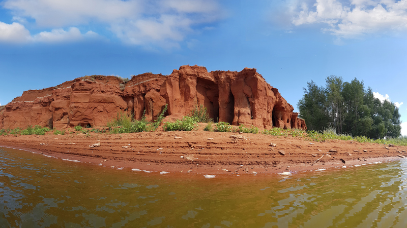
The author of the picture is Natalia Anisimova, an employee of "Gazprom Dobycha Orenburg" LLC. The coordinates of the object are 51.477106, 54.200191. A unique geological and geomorphological natural monument is located 12 km south of Krasnokholm village. It began to form during the Mesozoic period more than 200 million years ago. The cliff is mostly composed of reddish-brown, brownish-maroon sandstones and sands. It is a sample of water-wind erosion. The total area of the facility is 2 hectares.
The author of the picture is Oleg Shakirov, an employee of "Gazprom Pererabotka Blagoveshchensk" LLC, Amur region. The coordinates of the object are 51.799274, 54.809589. The waterfall is located on the Chernaya River, 1 km northwest of the village of Chernorechye. The total height of the rapids is no more than 3 m. It is especially picturesque during the spring flood. It is a favorite habitat of dragonflies, including the Emperor Red Book watcher.
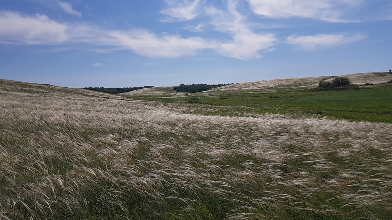
The author of the picture is Natalia Anisimova, an employee of "Gazprom Dobycha Orenburg" LLC. The coordinates of the object are 52.136792, 54.278437. The island of the primitive steppe landscape is located north of the village north of Abramovka, between the Kuvai (right tributary of Samara) and Gusikha rivers (left tributary of Bolshoy Uran). The total area is 1,500 hectares. The habitat of the marmot population. Also here you can meet representatives of two species of birds listed in the Red Book of the Orenburg region: the strepet and the belladonna. Among the vegetation, the red-book feather grass, beautiful grass, and Schrenk's tulip are of particular value.
The author of the picture is Elena Sukach, an employee of "Gazprom Dobycha Orenburg" LLC. The coordinates of the object are 52.996684, 52.13133. The National Park is located on the territory of the Samara and Orenburg regions. This is a unique forest area in the Trans-Volga steppe region, which traces its history back to the post-Glacial period. Its formation began about 10,000 years ago. The forest has the shape of a triangle, which is divided into two parts by the Borovka River. The total area is 111 thousand hectares. More than 2/3 are occupied by pine forests, bordered on all sides by a strip of deciduous trees. The flora of the Buzuluk forest is represented by plants that are inherent in different natural zones – steppes and semi-deserts (grasslands), tundra (fluff, yagel), forests (roundleaf sundew). In general, the flora of the forest consists of: – almost 50 species of trees and shrubs; – about 600 species of grasses; – more than 50 species of mosses and lichens. 35 plants are listed in the Red Books of Russia, Orenburg and Samara regions. The fauna world is also rich. Buzuluksky forest has become home to: – almost 60 species of mammals; – over 180 species of birds; – 9 species of reptiles; – 7 species of amphibians; – 24 species of fish; – about 1000 species of insects. 18 species of birds, 3 species of animals, 1 species of amphibians, as well as representatives of the 1st order of bats are listed in the Red Books of Russia, Orenburg and Samara regions. Peter Pallas, a naturalist, geographer, traveler, and member of the St. Petersburg Academy of Sciences, first mentioned Buzuluksky Bor in 1769 in his diaries.
The author of the picture is Natalia Sharipova, a resident of Orenburg. The coordinates of the object are 53.034351, 52.148581. The lake is small in area and is located 20 km north of the city of Buzuluk between the Borovka and Studenka rivers, almost in the center of "Buzuluksky Bor" National Park. In shape, "Choleric" resembles an inverted comma. There is a dirt road leading to the lake, which erodes during the rainy season. It is also inaccessible in winter. There are several species of fish in the waters of "Cholerny". Fishing is allowed.