
-

Without restrictions
-

3-4 hours
-

7 objects
-
Type of route
Hiking trails
Specially protected natural area of regional importance in the Orenburg region (restrictions apply, see description)
Description
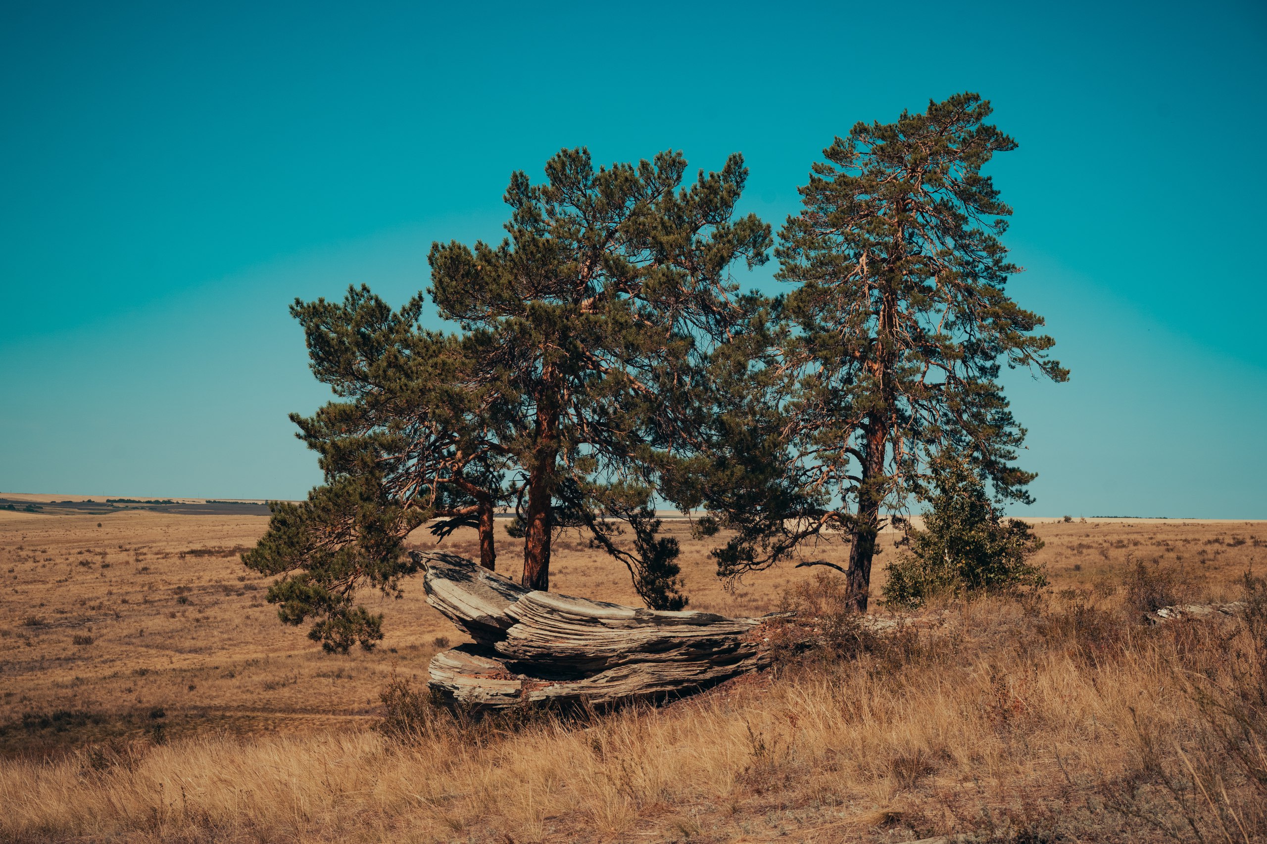
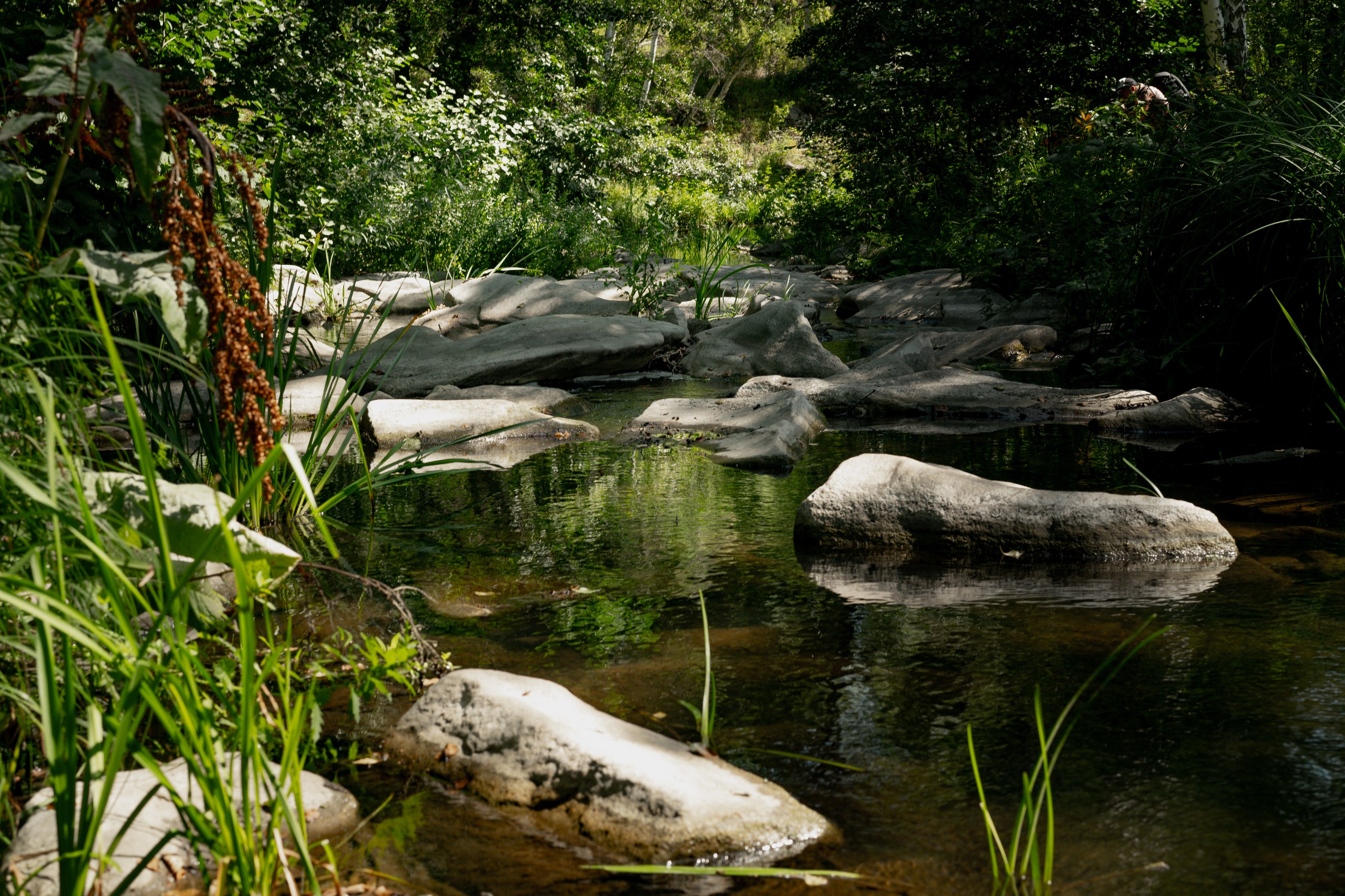
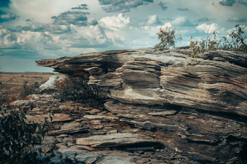
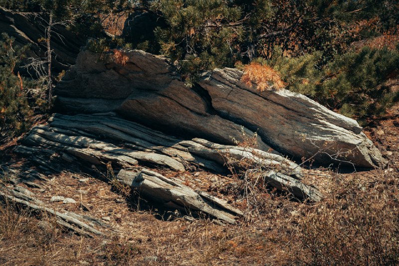
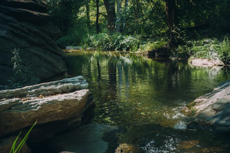
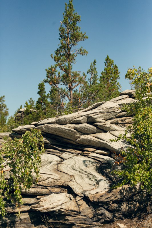
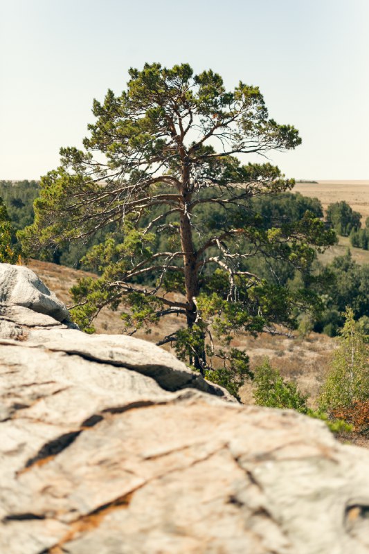
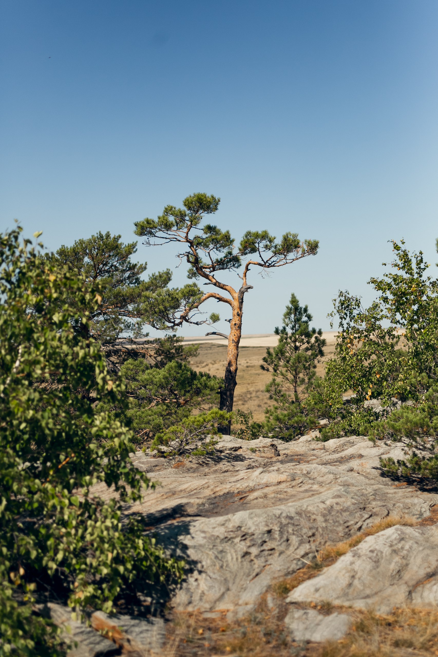
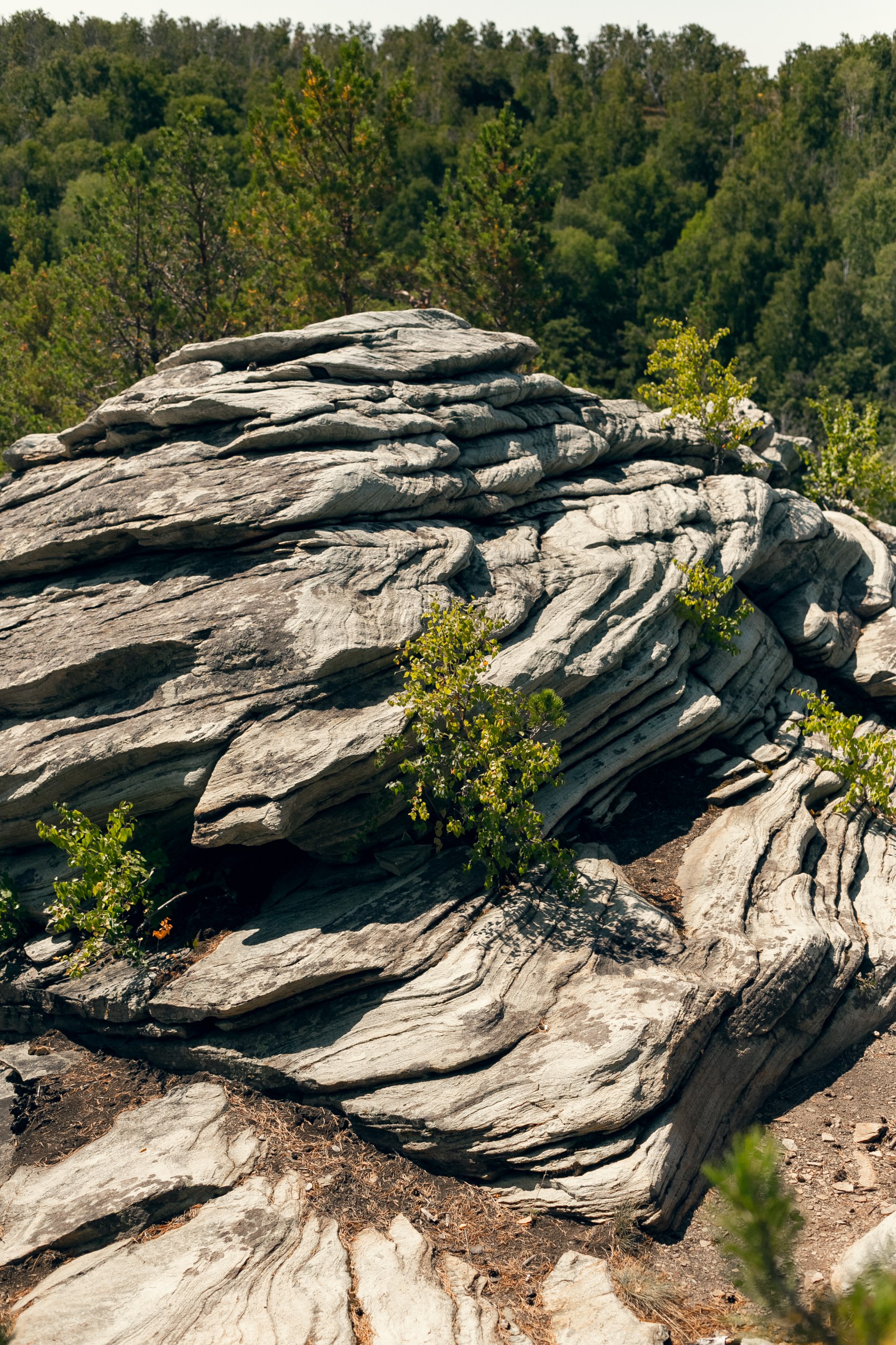
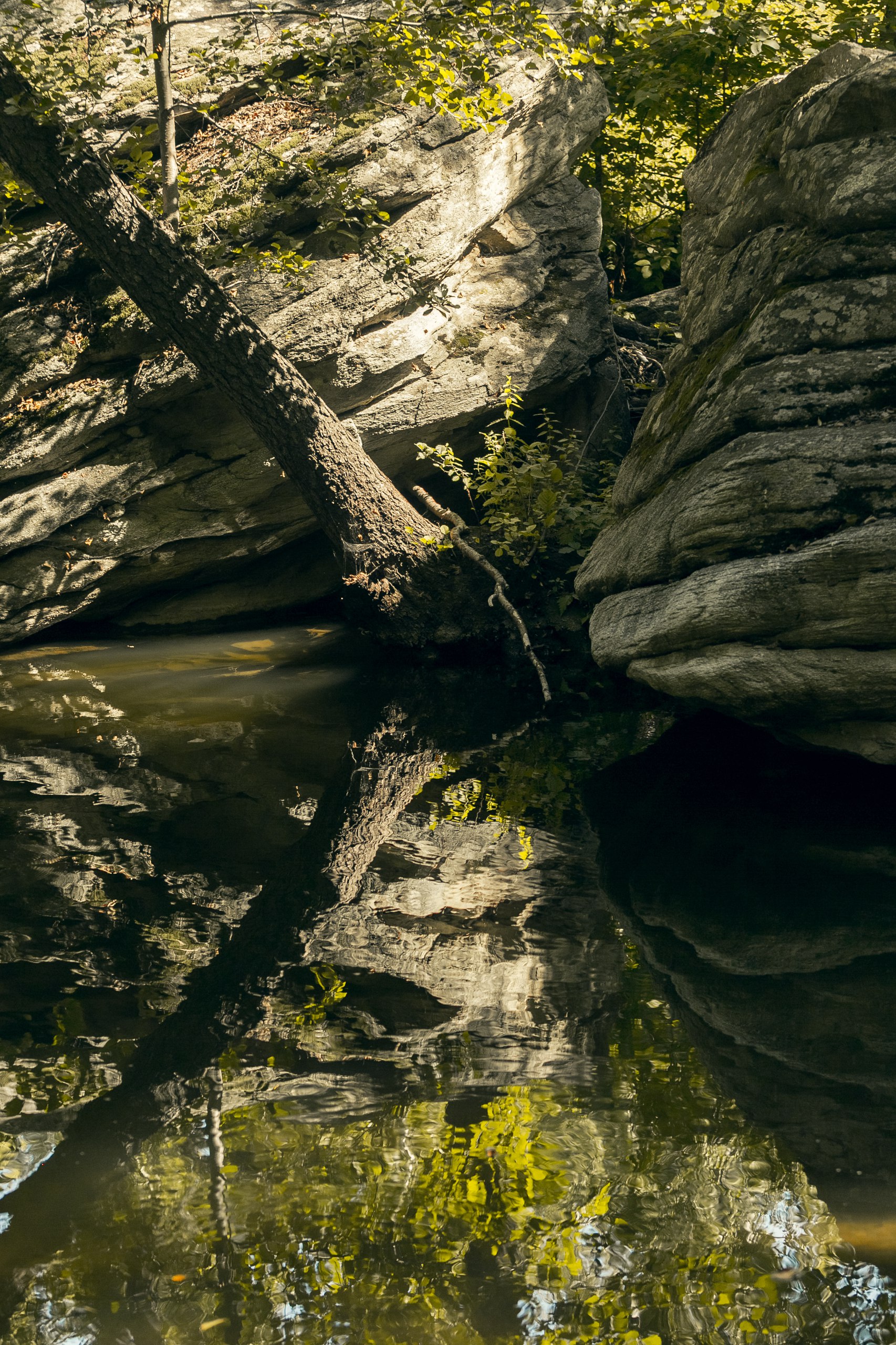
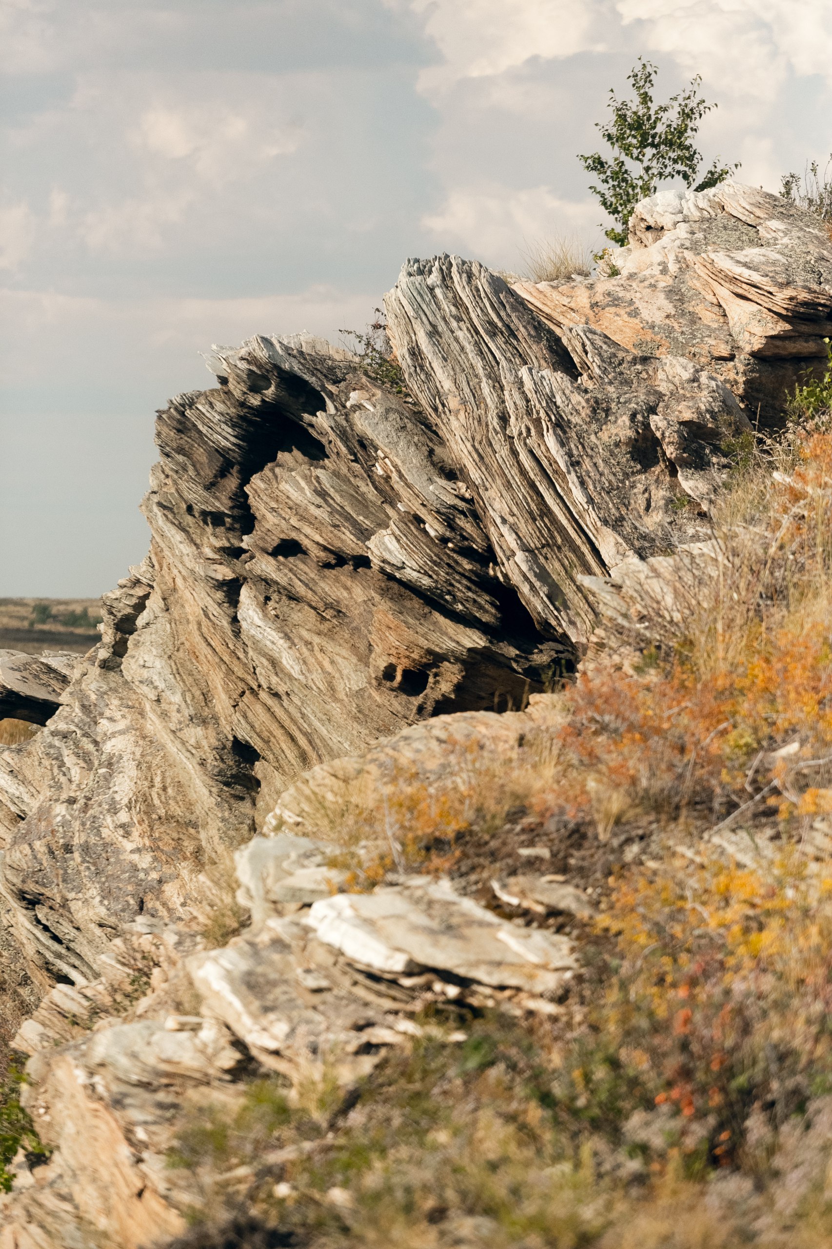
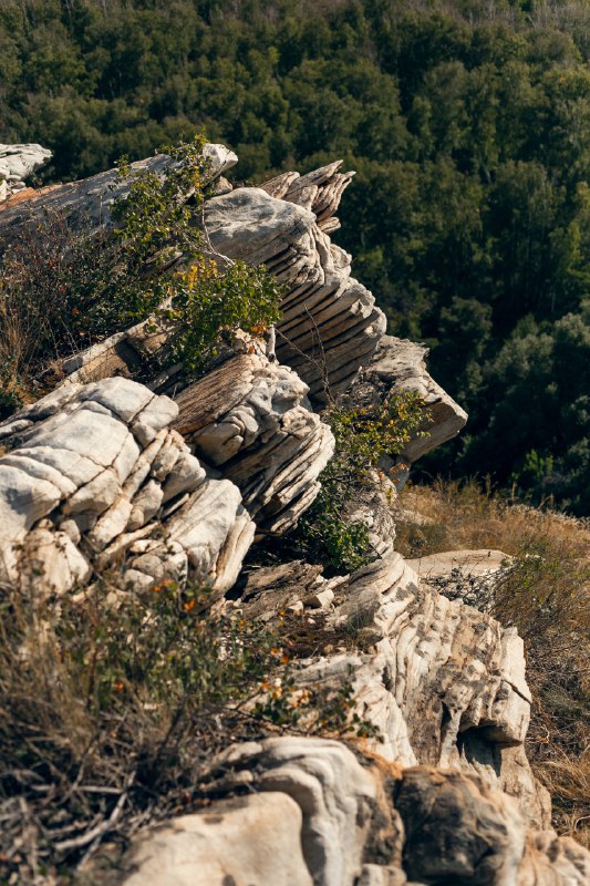
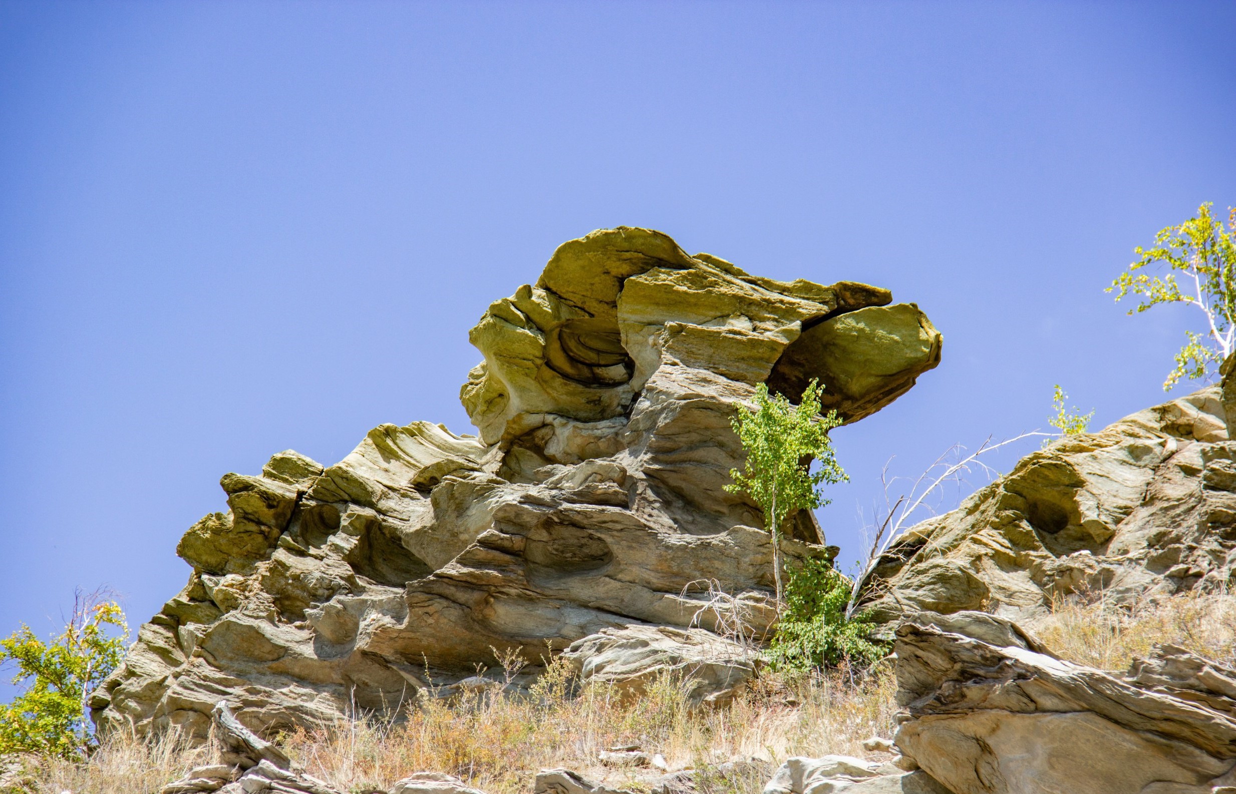
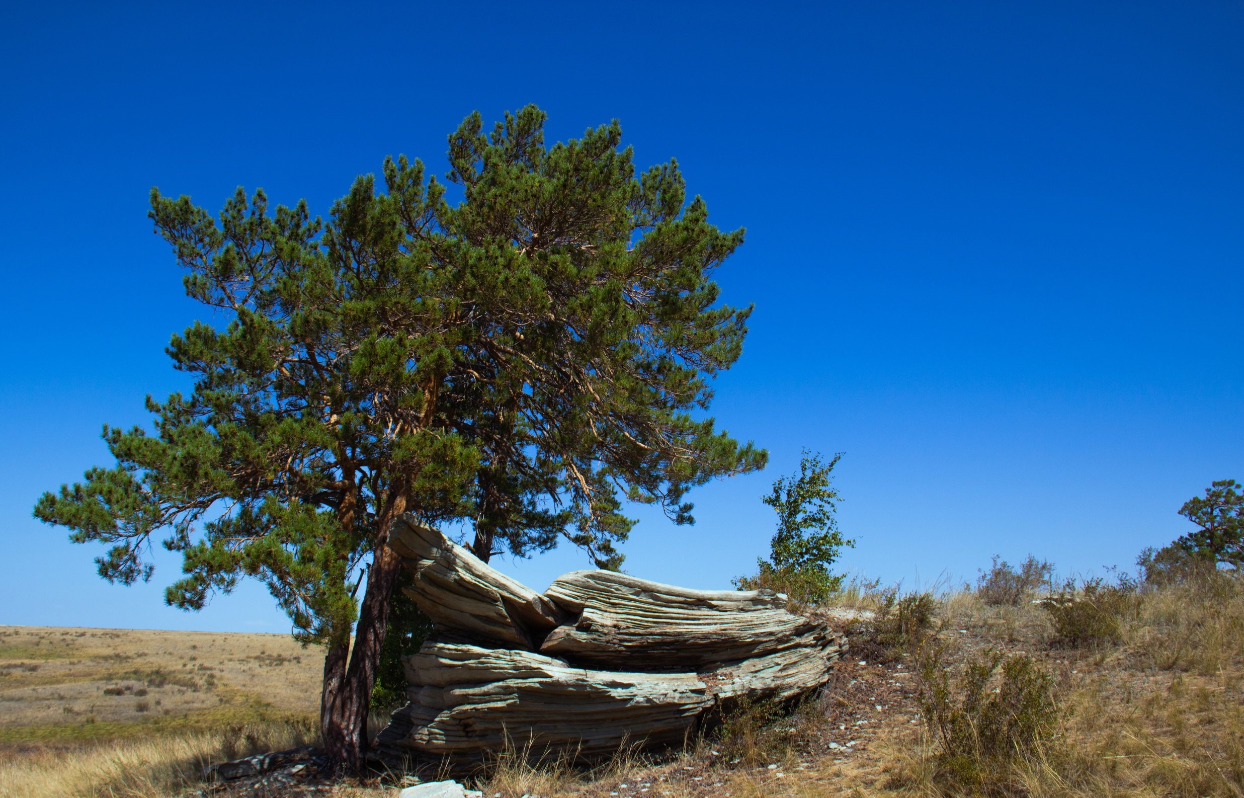
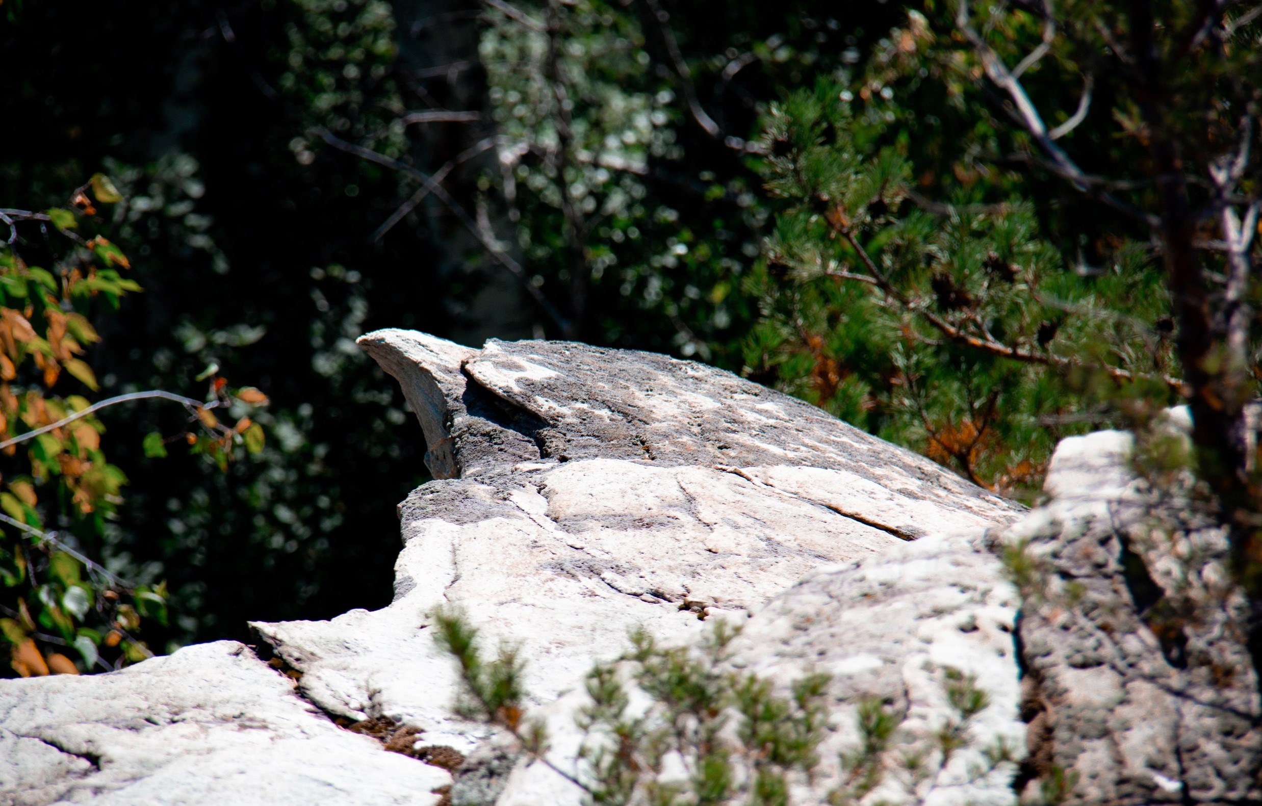
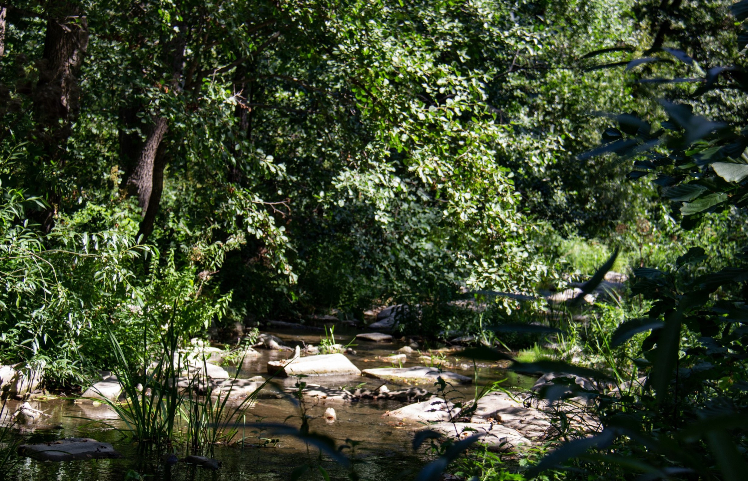
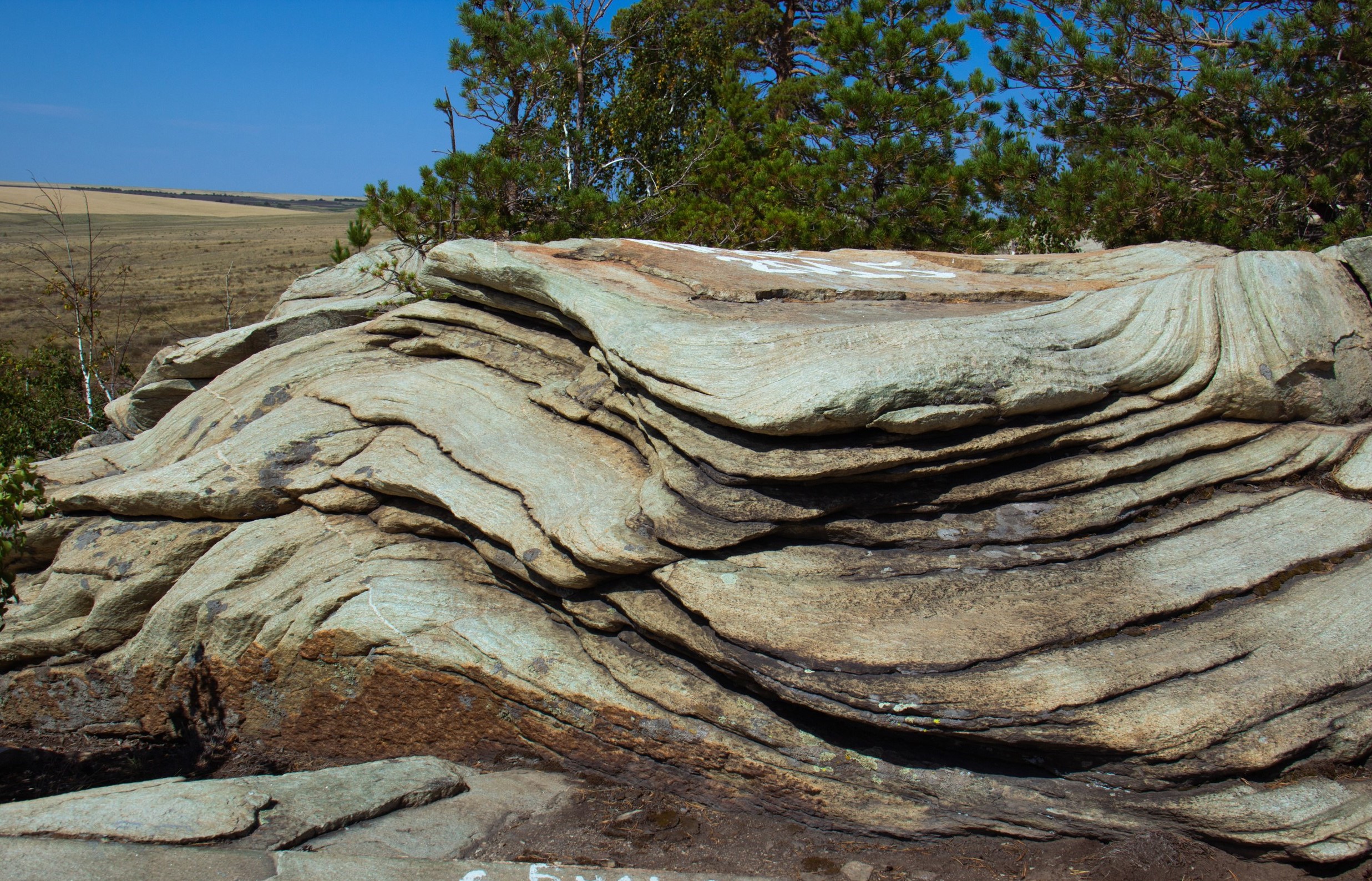
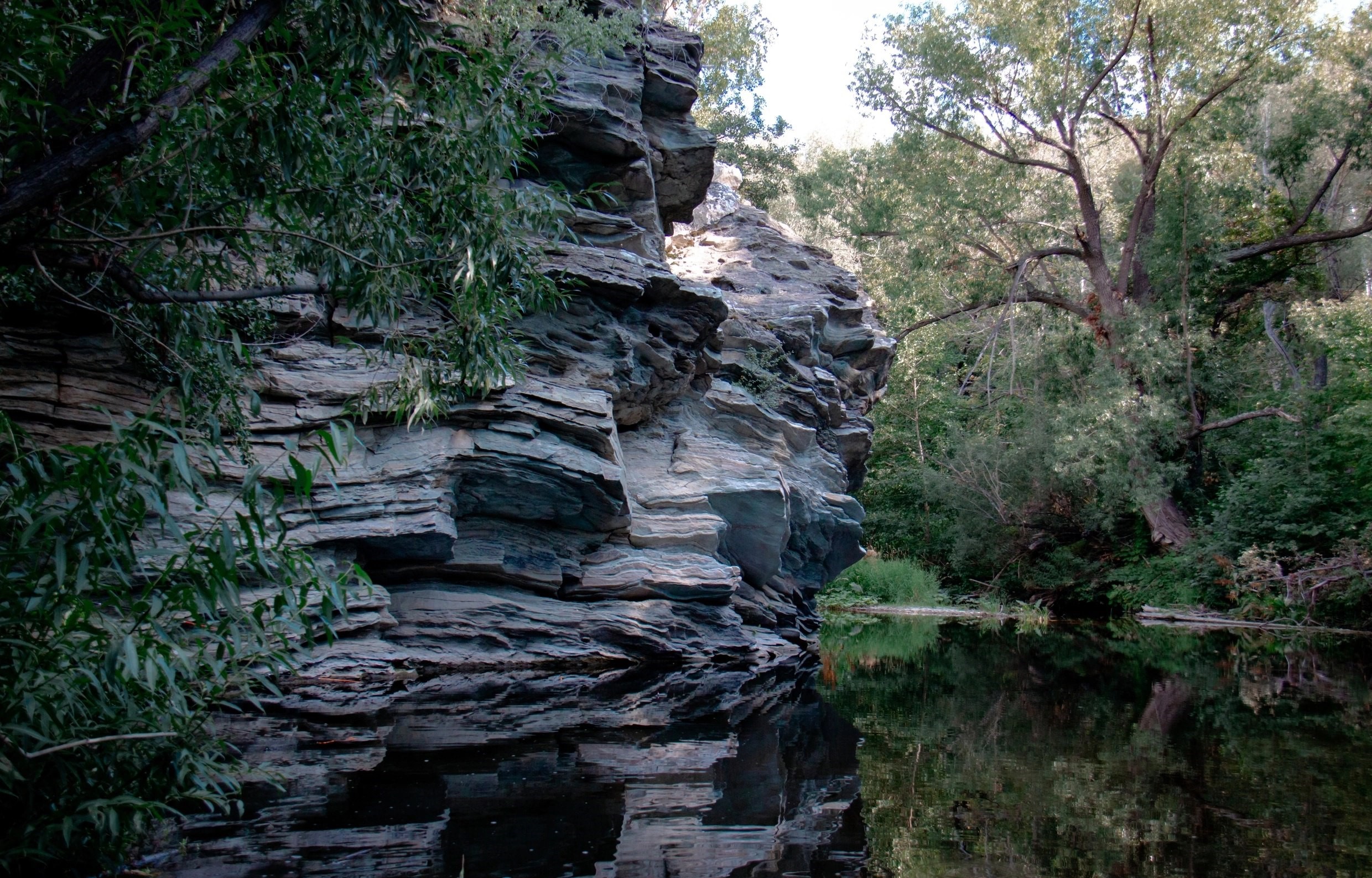
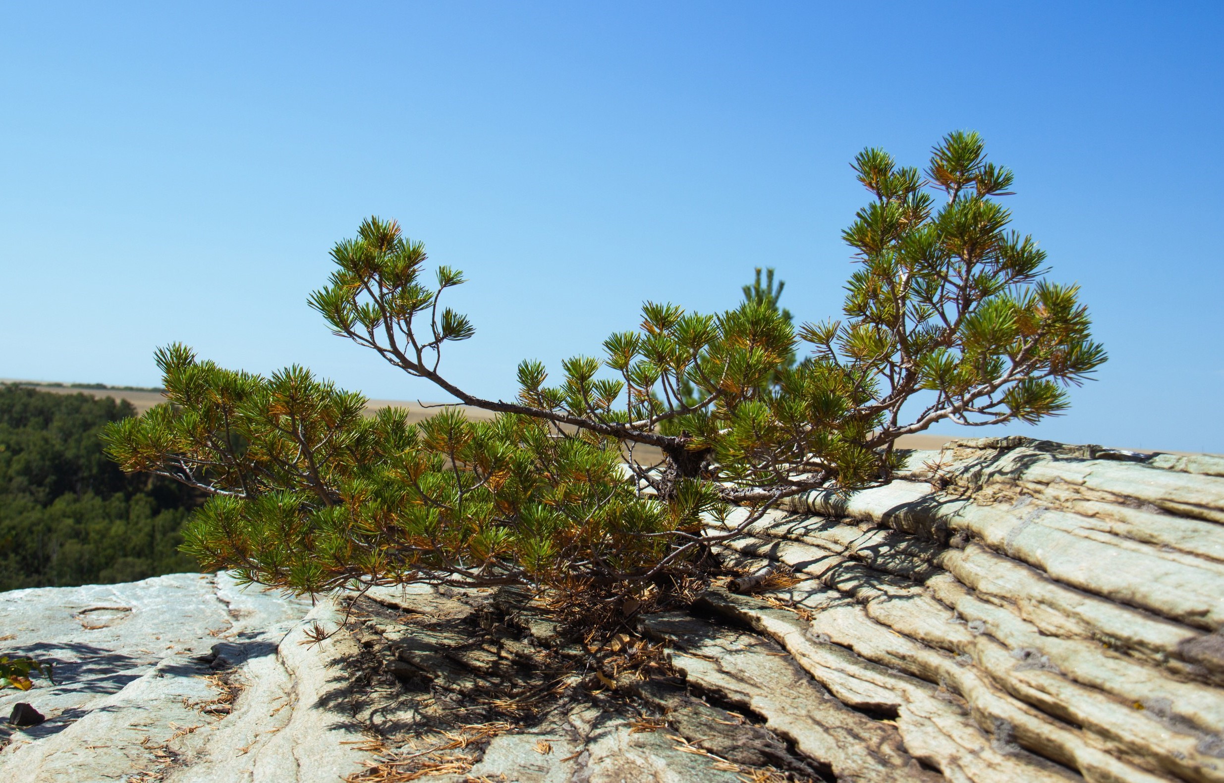
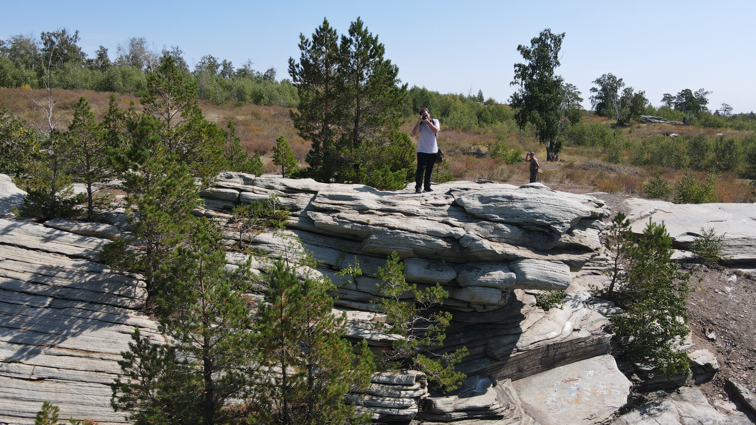
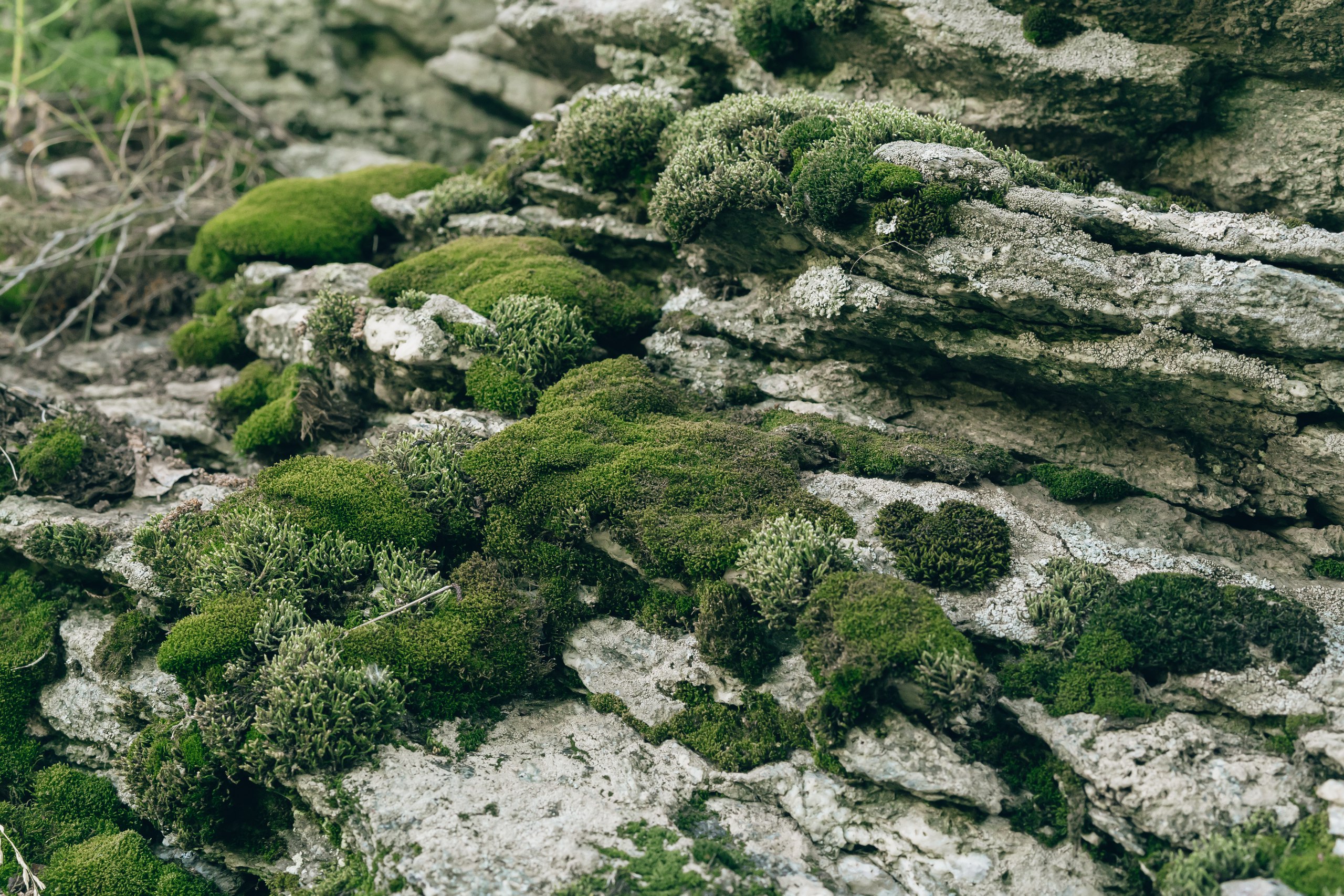
In ancient times, the pine forest, the southernmost pine outpost in the Urals, settled on the shales. In the depths of the gorge, under the rocks, an amazing world of relict plants has been preserved: ferns, mosses, lichens, and rare flowering plants. Further along the route, you can see the unique work of wind and sand – the “Turtle” rock. Erosion has eroded the stone so much that part of the slate from a distance really resembles a turtle's head. Further along the route there is a descent into the floodplain of the Gubernia River. The riverbed has carved its way through the rocky massifs, and the current has worked the rocks so smoothly that if you are not careful, you can easily stumble. Along the entire route along the riverbed, there are small ripples and even waterfalls formed by exposed rocks, while the sound of falling water gives what you see a special grandeur. There are also peculiar “fonts" along the way. The riverbed is up to 1.5 meters deep in these places, surrounded by rocks. Crossing the river, you can see the endless expanses of fields surrounding the Karagai-Guberna gorge and the forest area along the Guberna riverbed.
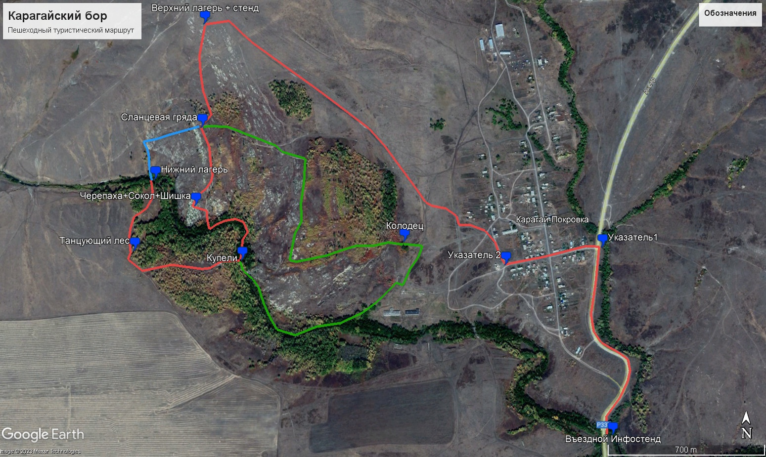
"""rocks" """Turtle", "Falcon", "Slate ridge", pine forest, "Baptismal font", "Dancing forest".
The parking place and the beginning of the route are located in the upper reaches of the shale ridge, and the parking place can be reached by car.
If you have any questions, please contact the Orenburg region State Institution "Directorate of Protected Areas" at 8(3532) 70-31-01
The object is a state nature reserve of the Orenburg region, which has a special protection regime.
Information about prohibitions and restrictions can be found here.: https://travel.orb.ru/upload/iblock/cae/6ra8jrjju91gtjoo8rosvtgq0lvxgjkm.pdf
51.646392, 57.888273
Read completely
Route on the map
-
12:00
Upper camp
-
16:00
Upper camp